Tornado Watch Grips Midwest: Severe Weather Threatens Millions on May 15, 2025
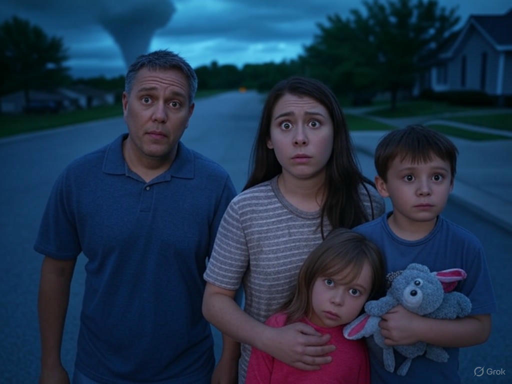
As of May 15, 2025, a chilling sense of urgency hangs over the Midwest and Great Lakes regions. A tornado watch has been issued for the Twin Cities and surrounding areas, with reports of tornadoes already touching down in western Minnesota. With over 10 states at risk for severe weather, including potential strong tornadoes, large hail, and damaging winds, millions are on edge. Why is this happening now, and what can we expect in the coming hours? Let’s dive into the unfolding situation.
What’s Happening Right Now?
The National Weather Service Storm Prediction Center (SPC) has classified parts of east-central Minnesota, Wisconsin, and Michigan under an Enhanced Risk for severe thunderstorms today. As of 12:10 PM CDT, a tornado watch was issued for the Twin Cities metro area, lasting until 8 p.m. CDT. Reports of actual tornadoes emerged from western Minnesota by 3:00 PM CDT, heightening fears across the region. Social media is buzzing with real-time footage of ominous storm clouds and hail the size of baseballs, amplifying public anxiety.
Understanding the Tornado Watch: Background and Context
For those unfamiliar, a tornado watch means that atmospheric conditions are ripe for tornado formation, unlike a tornado warning, which indicates a confirmed sighting. According to experts, today’s severe weather threat stems from a low-pressure system pulling warm, moist air from the Gulf of Mexico into the Midwest. This collision with cooler air masses creates the perfect environment for supercell thunderstorms. It’s no coincidence that this is happening in mid-May, which is considered peak tornado season for this region. For more detailed updates, check the latest SPC Convective Outlook.
Voices of Concern: Official Warnings and Expert Insights
The urgency of the situation is underscored by stark warnings from weather authorities. The National Weather Service Storm Prediction Center stated:
Tornadoes, some of which could be strong, and very large hail and damaging winds will be possible across the Enhanced Risk area.
Meanwhile, the Severe Weather Outlook Team on YouTube emphasized the predictability of this outbreak, saying:
This is your typical sort of textbook event where you have dew points surging up... mid-May prime time for severe outbreaks.
These insights remind us of the raw power of nature and the importance of heeding warnings. For a deeper dive into the forecast for the Twin Cities, read the full report on MPR News.
Real-Time Updates: Watch the Latest Forecasts
For those seeking visual updates on the evolving situation, meteorologists are providing live coverage and radar analysis. Below are two critical forecasts from today that highlight the severity of the weather outbreak:
Emotional Impact: Fear and Solidarity in the Face of Nature
Beyond the meteorological data, the human toll of this event is palpable. Residents across the affected areas are sharing storm footage and sheltering experiences, weaving a tapestry of fear and communal strength. Viral posts of hail larger than baseballs in Minnesota have sparked widespread concern about property damage. Meanwhile, debates swirl on social media about whether this early-season intensity points to climate change, though the focus remains on immediate safety. If you’re in the affected areas, now is the time to take cover and stay updated.
Conclusion
✔️ The Midwest faces a dire severe weather threat on May 15, 2025, with active tornado watches and confirmed sightings.
✔️ As fear mixes with resilience, the urgency to stay informed and prepared cannot be overstated.


